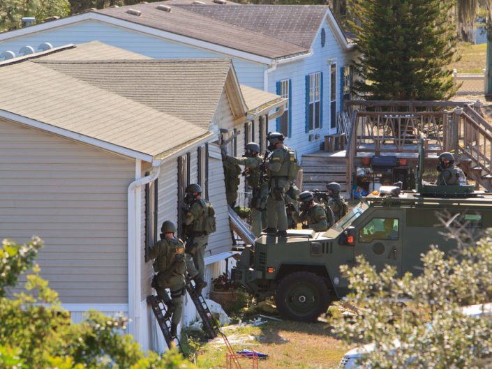
Search & Rescue
Drones can provide quick and easy photographic grid searches of search areas with lower costs compared to manned aircraft.
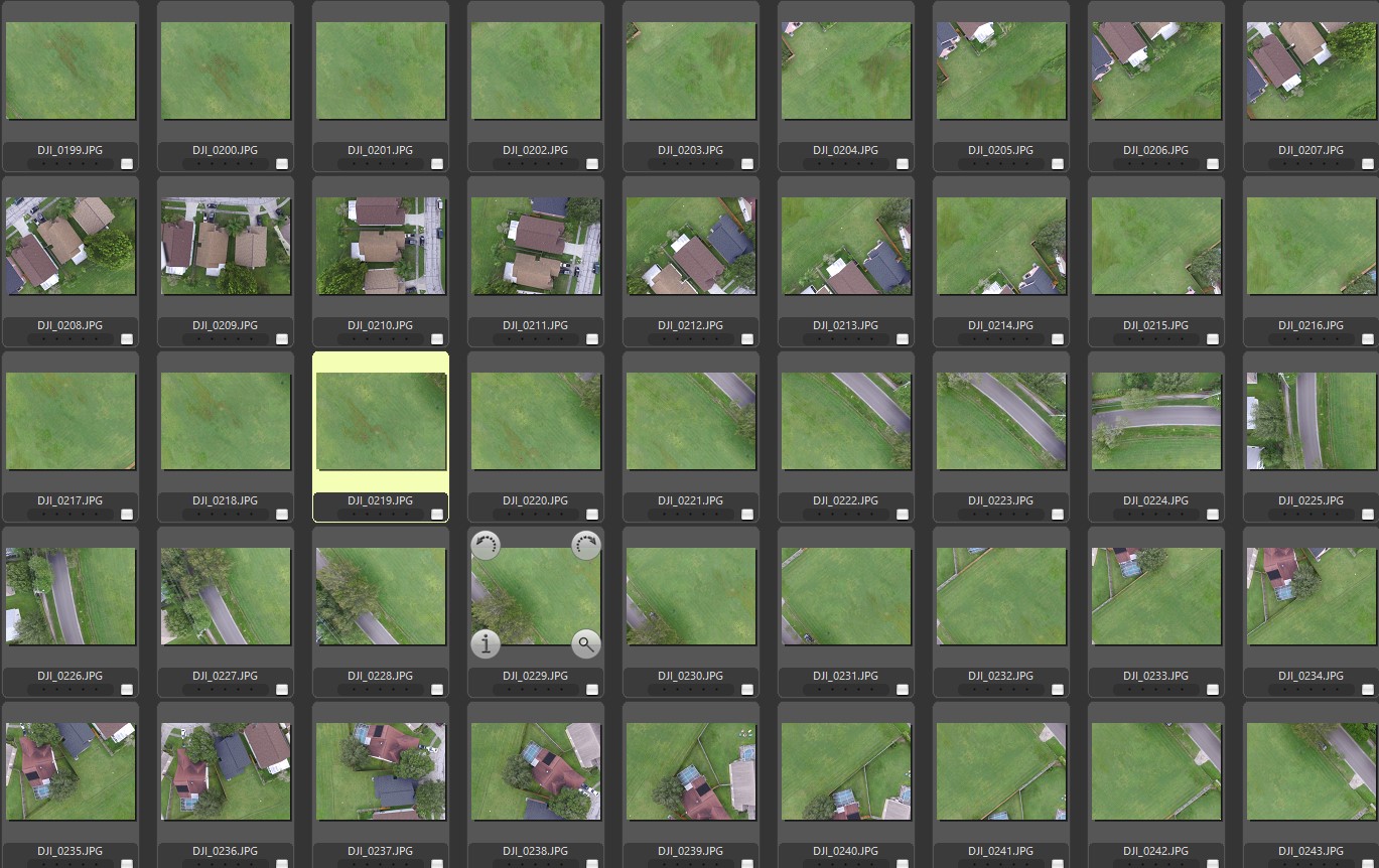
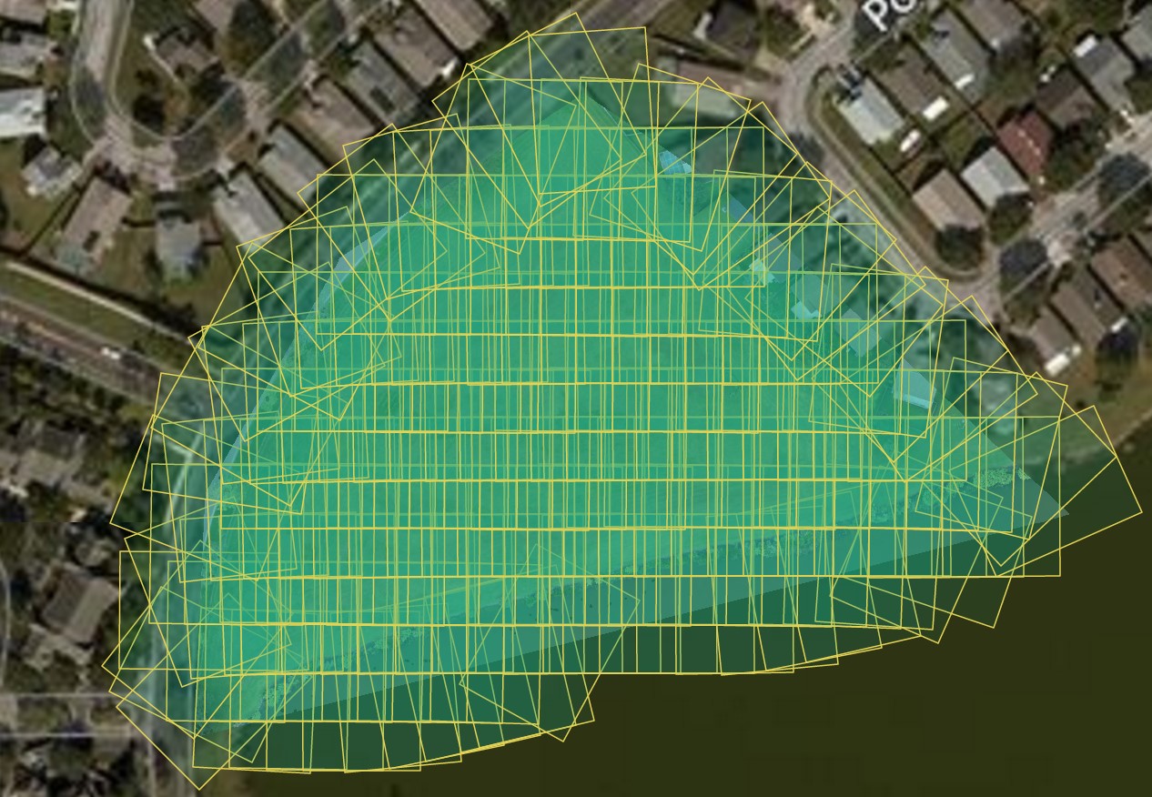
Unmanned Aerial Systems (UAS) or drones can be a valuable asset to search and rescue crews without incurring high costs of manned aircraft. Drones can provide high quality aerial photographs in an overlapping grid and can cover many acres quickly.
Photos are geo-tagged and have the latitude and longitude coordinates embedded in the metadata of the file allowing search crews to find the victim quickly.
UAS SAR services are provided free of charge to help locate children missing or endangered.


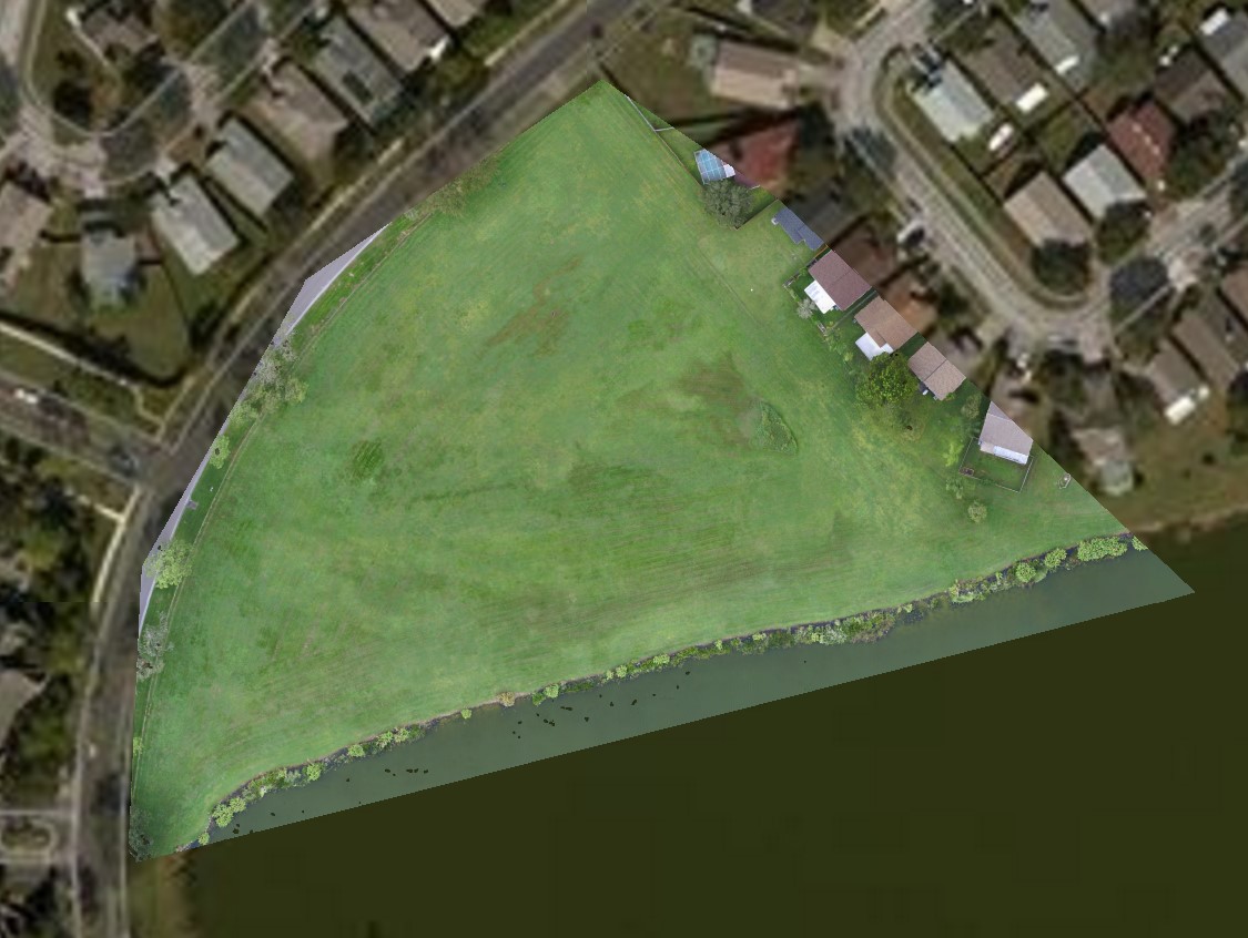
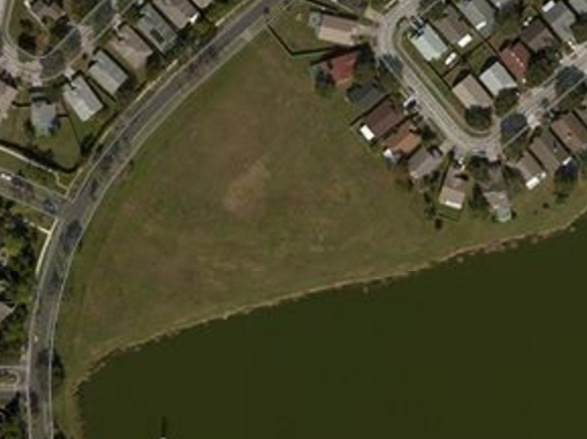
Drone SAR Image Demo
In this demonstration a drone took 204 geo-tagged images and flew in a grid pattern over a simulated missing person near a lake. 204 images were imported and processed within minutes and a location was plotted on the map and the simulated victim, in this case a red jacket was located.


Tampa Bay FAA Drone Pilot
Tampa Florida FAA Licensed Drone Remote Pilot

Recent Portfolios

Video

Real Estate
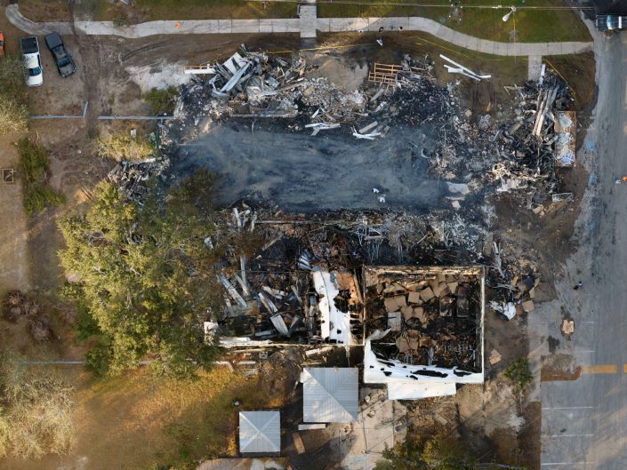
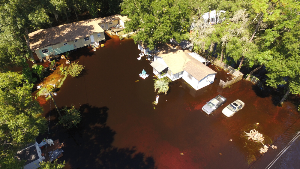
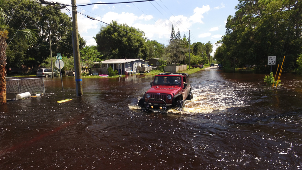
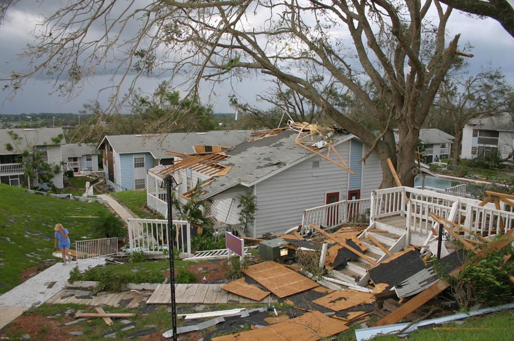
Breaking News